
Rally headquarters
Kigali — the nerve centre
Interactive map · © OpenStreetMap contributors
The route
Three legs across Bugesera
Leg 1
Fri 10 Jul
KigaliShakedown · Qualifying
KCC Festival at the start — driver presentation, shakedown and the first runs.
Leg 2
Sat 11 Jul
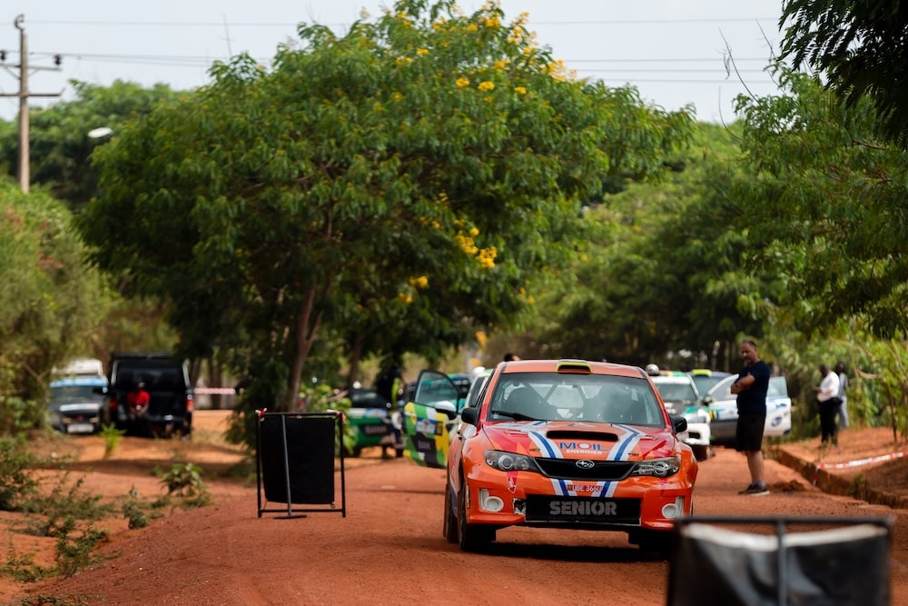
BugeseraSS1–SS8
Gasenyi · William · Gako · Nemba — the longest day in Bugesera.
Leg 3
Sun 12 Jul
BugeseraSS9–SS18
Kamabuye · Gako · Ruhuha · Bugesera Power Stage — live-TV finale and podium.
18
Special stages
402 km
Total distance
Gravel
Surface
On stage days
Spectator points
Viewpoint
Gasenyi spectator zone
Fast, flowing section with grandstand views.
Gako climb
Technical hairpins — great for photos.
Bugesera Power Stage
Live-TV finale viewing area.
Parking
Nemba spectator parking
Signed parking near the opening loop.
Service Park parking
Public parking at rally HQ.
Road closure
Stage roads
Closed 1 hour before the first car — plan ahead.
Kigali start ramp
City-centre closures for the ceremonial start.
Medical
Stage medical points
Ambulance and medics at each spectator zone.
HQ medical centre
First aid at the service park.
Spectate safely
Only watch from marshalled spectator zones, follow all marshal instructions, and never stand on the outside of corners or on the racing line. Rally cars travel at high speed on loose gravel.